Loading ranch…

Lot 23
$220,070
$1,049/acre
209.79 acres · Pumpville Ranch Subd34 of 37 tracts left · 1 sold in the last 30 days
209.79 AcresHilltop Well SiteExisting Ranch RoadPartial FencingPower To AreaOwner Finance
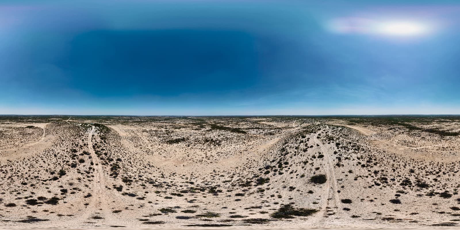
You'll see the hill before you find the turn. Caliche carries you across pale flats dotted with cedar, the land ahead swells, and a dark crown of trees stands up against the sky where nothing else does for miles. Then the turn. Tract 23 holds that hill: 209.79 acres of ranch land for sale at the Pumpville Ranch in Val Verde County, out in the Pecos region west of Del Rio, where the flats reach past anything a man takes in at one sitting and the entrance is a gap you'd drive past if nobody showed it to you.
The dirt ranch road comes in at the north end and keeps going, a shade over a mile of it, bending and swinging wide as the grade steepens before it finishes at the southeast corner. A truck and trailer can make the top on what's already there. That matters more than it sounds. Material, a camper, feed, a drill rig: the expensive part of improving a remote tract is usually getting to the spot you picked, and a fair bit of that expense has been spent already. Access is the deed's and the plat's business, and we'll put those papers in your hands before you sign a thing.
At the crown you find why anybody bothered with this hill. Water, and the memory of water. An old well sits up there, a round concrete storage tank next to it with water standing in the bottom in May, and the galvanized bones of the windmill that pumped it folded into the cedar where they fell. Steel legs, a scattered fan, an empty tower still upright. The name of this stop came from pumping water for steam engines, and this well on this hilltop is cut from the same cloth. What that well will do today is a driller's question, not mine, and I'd want it tested before counting on a drop of it. Utility poles stand at the site with a transmission tower just past them; what it takes to bring service to a camp up here is a conversation for the provider, and we'll point you at the right office.
The top earns the drive. From the tank wall the land falls away in every direction, cedar turning blue-green toward the horizon, pale washes threading the flats, and a far rim standing thin and level at the edge of sight. Few people have ever stood here. The tract gains 79 ft from its lowest corner to that crown, 2,021 ft to 2,100 ft, which doesn't sound like much until you're up on it with your hat in your hand. Late in the day the hill throws a stretch of shade off its west flank, and that's when the flat shows what's on it: cattle at a mile, a muley easing out to feed at two, because nothing stops the eye.
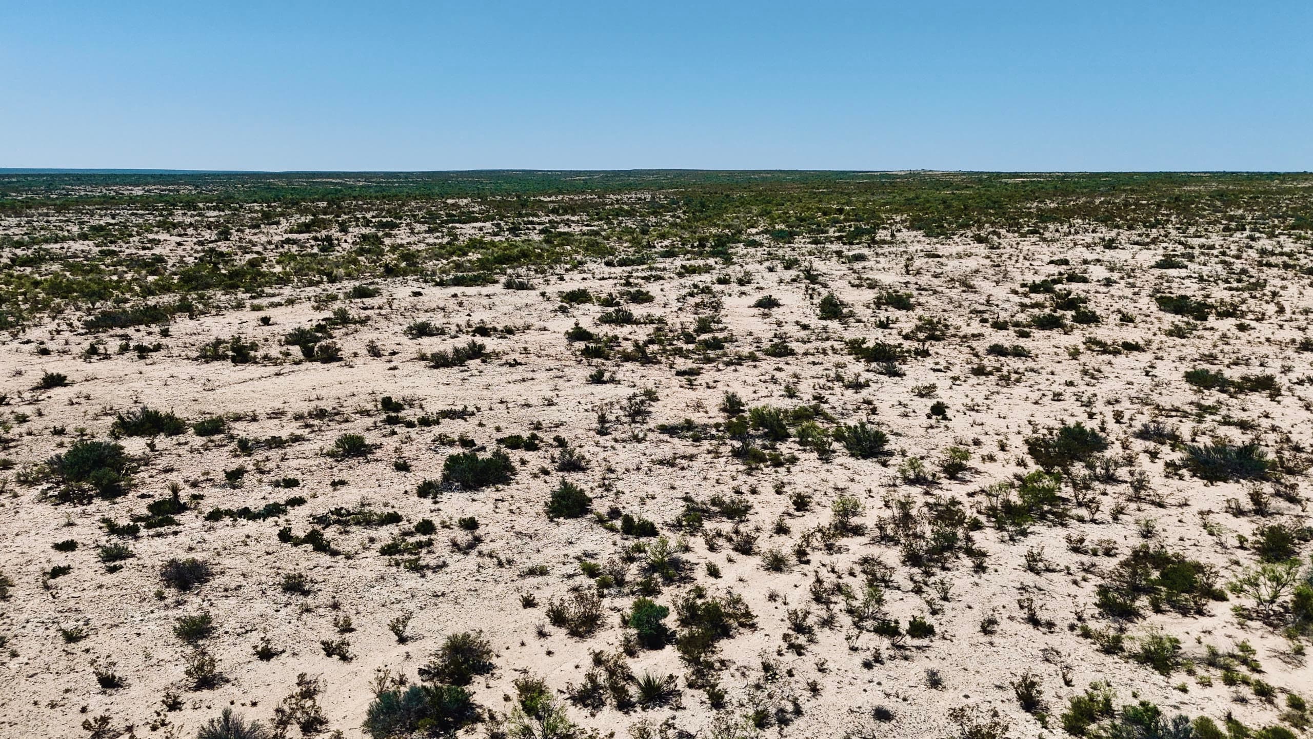
Better than a quarter of the tract carries thick cedar and thorn, heaviest from the north end toward the west, and the rest opens into caliche and rock with prickly pear, yucca and sotol scattered in it. The openings are where a pad would sit. The thickets are where livestock and game get out of the sun, and they give the tract some shape instead of one flat sheet. Rock underfoot nearly everywhere. Wear boots that can take it.
Wire stands across most of the north end, though the recorded survey governs the boundary and wire is only wire. Restrictions here stay light and commercial operations are kept out, which is the part that protects the quiet you're paying for. Surveyed tract, straightforward terms, owner financing with as little as 5% down. Come in the cool months if you get to pick your date. Bring water and a hat, and plan to be on top an hour before dark, when the shade pulls off the hill and the flat starts to move. We'll meet you at the turn.
Where Lot 23 sits
Similar lots

Lot 23 — common questions
- Is Lot 23 at Pumpville Ranch Subd still available?
- Yes — Lot 23 is listed and openly available at $220,070. Inventory moves; booking an appointment or calling (830)-307-7533 is the fastest way to hold your place.
- Can I buy Lot 23 at Pumpville Ranch Subd with owner financing?
- Ask us — Guadalupe Ranch Co. is the owner-seller and finances most tracts in-house with low down payments and no bank qualifying. Call (830)-307-7533 for this lot's options.
- How big is Lot 23 at Pumpville Ranch Subd and where is it?
- Lot 23 is 209.79 acres at Pumpville Ranch Subd in VAL VERDE County, Texas. It's surveyed with deeded access on graded ranch roads.
- Can I walk Lot 23 at Pumpville Ranch Subd before buying?
- Yes — book an appointment right from this page (takes about a minute) or call (830)-307-7533. A guide who knows the ranch will meet you at the gate and walk the corners with you.